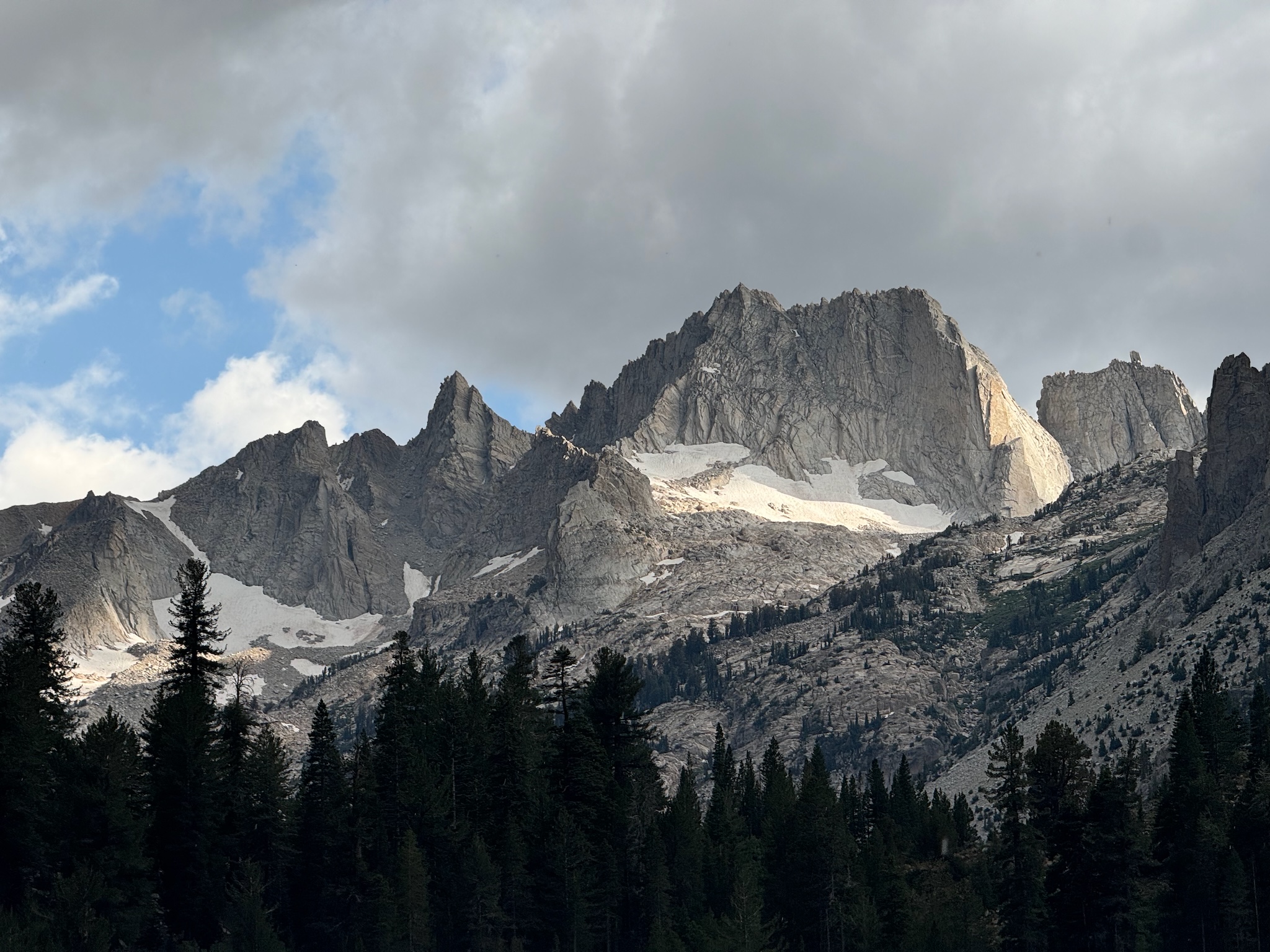
This last weekend I drove out to Hoover Wilderness to hike Matterhorn Peak with Ajay and Bob. For reference Hoover Wilderness is just north of Yosemite National Park.
 The triangle shaped peak left of center is matterhorn peak.
We climbed over the pass to the left and before climbing up the back side
to reach the summit.
Elevation: 3744m
Day 1
We drove up from the Bay Area just after work on Friday and ended up getting to the trailhead (Horse Camp) in the dark. We hiked a few kilometers with headlamps before calling it a night and setting up the tent.
Day 2
The next day we headed up the trail following the creek towards Matterhorn Peak. The jagged edge peaks were stunning and as we gained elevation the views just got better. There was tons of water available on the trail as it follows Horse Creek all the way. As we worked our way up the valley the trail became less defined and we needed to make our own route at times.
As we reached the first snow field it started to downport. We luckily were able to hide in a cave along the side of the mountain for about an hour and stay dry. While waiting for the rain and hail to stop we cooked some food and took some well deserved rest.
Once the rain stopped we finished up over the pass which opened up into a massive valley to the south. The sun was starting to set over the valley and we took a break to watch the sunset before finding a place to setup the tent.
Day 3
Today we were set out to summit Matterhorn peak in the morning and then hike all the way out back to the car. There is no real trail up to the summit and we more had to scrample our way up a scree field towards the top. Looking down the view just got better the further we got up and soon enough we were almost at the top. At their very top there was a more technical section where you had to pull yourself up over a few rocks but overall not too bad. At the top we signed the log book, took a few pictures and then proceeded to head back down.
At the bottom we quickly packed up our tent before making our way down. The hike out was a bit more cumbersome because of all the boulder fields on the way up. We were also pacing it trying to make it out before the nightly thunderstorm. In the three days that we were there it seemed to downpour consistently at 5pm.
We ended up getting to the car around 6pm and headed out.
We stopped for dinner at this Mexican Resturant in Modesto. To our suprise there was a live mariachi band playing and tons of people were dancing. Definetly a great find for 9pm on a Sunday night. We had a great dinner and all three of us danced with our waitress.
The rest of the drive home was much less exciting but well worth it for a fun weekend out in the mountains.


